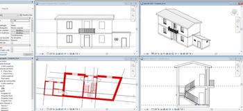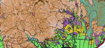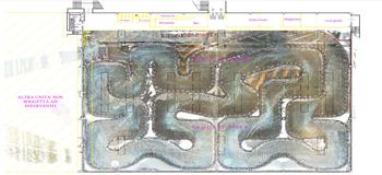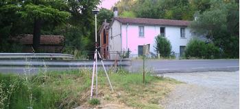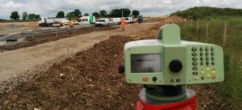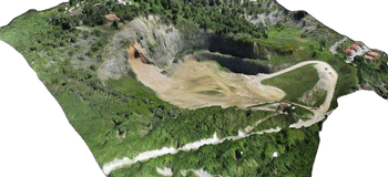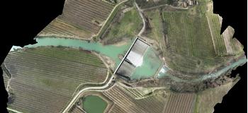
We use GIS and BIM in the field of preservation of the existing architectural patrimony and to support new building, infrastructure, urban area, and environmental plans.
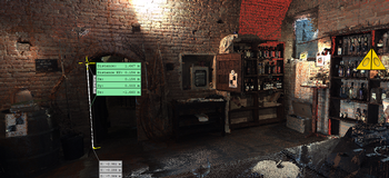
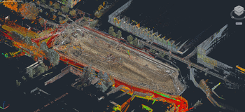
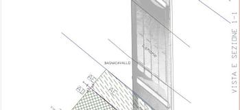
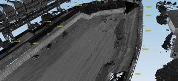
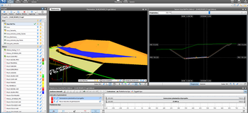
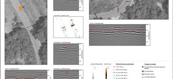
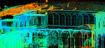
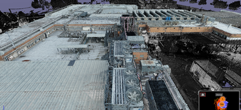
We operate in urban and natural environments using advanced technologies that make it possible to extract and elaborate layouts, façades, cross-sections, fundamental for the planning of restructuring interventions and /or new constructions. The laser scanning technology used by Monitor the Planet srl contains an incredibly high number of additional information, which is indispensable for obtaining detailed 3D or BIM drawings.
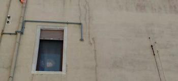
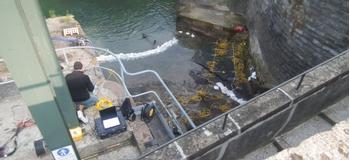
During the measuring operations of a building, without additional steps, everything that is present inside and outside of the same is detected at the same time, including: furniture, frescoes, system installations, mosaics, details of floors and coverings, etc.
The raw data obtained can be processed and used even after considerable time has passed. Our technologies provide a temporal photograph that can be interfaced with future interventions, but also analysed to compare past interventions.