24 June 2021
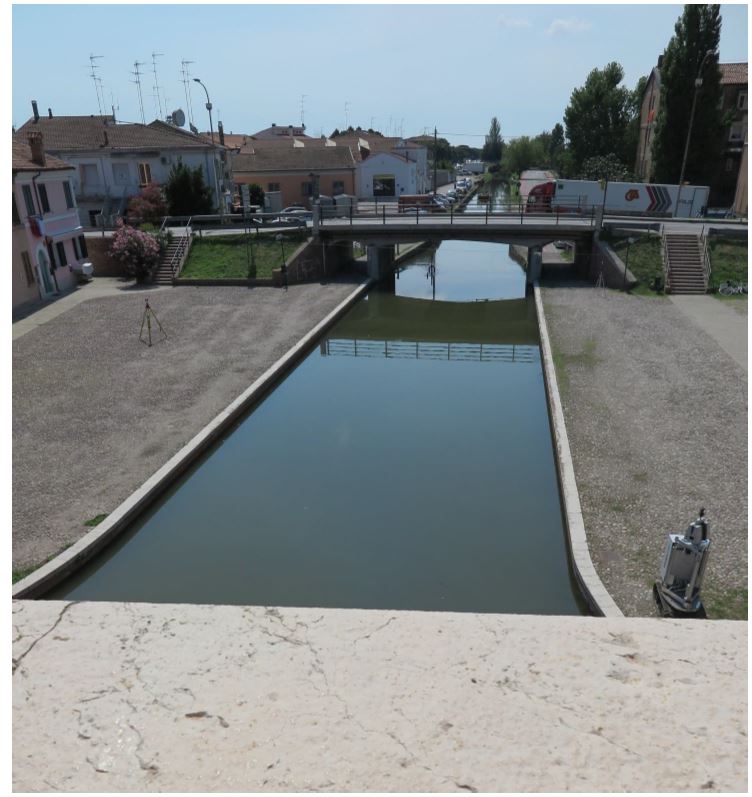
A system has been developed
to monitor the artificial structure of the watercourse by
topographical measurements and by
laser-scanner technology both within the same reference system.
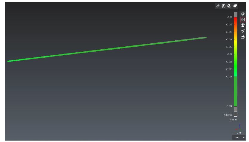
The purpose of the assignment was
to compare the acquired data in two different moments in order
to characterize the eventual
displacements of the dock.
- Project: Structural monitoring
- Client: Direct client
- Place: Comacchio (FE)
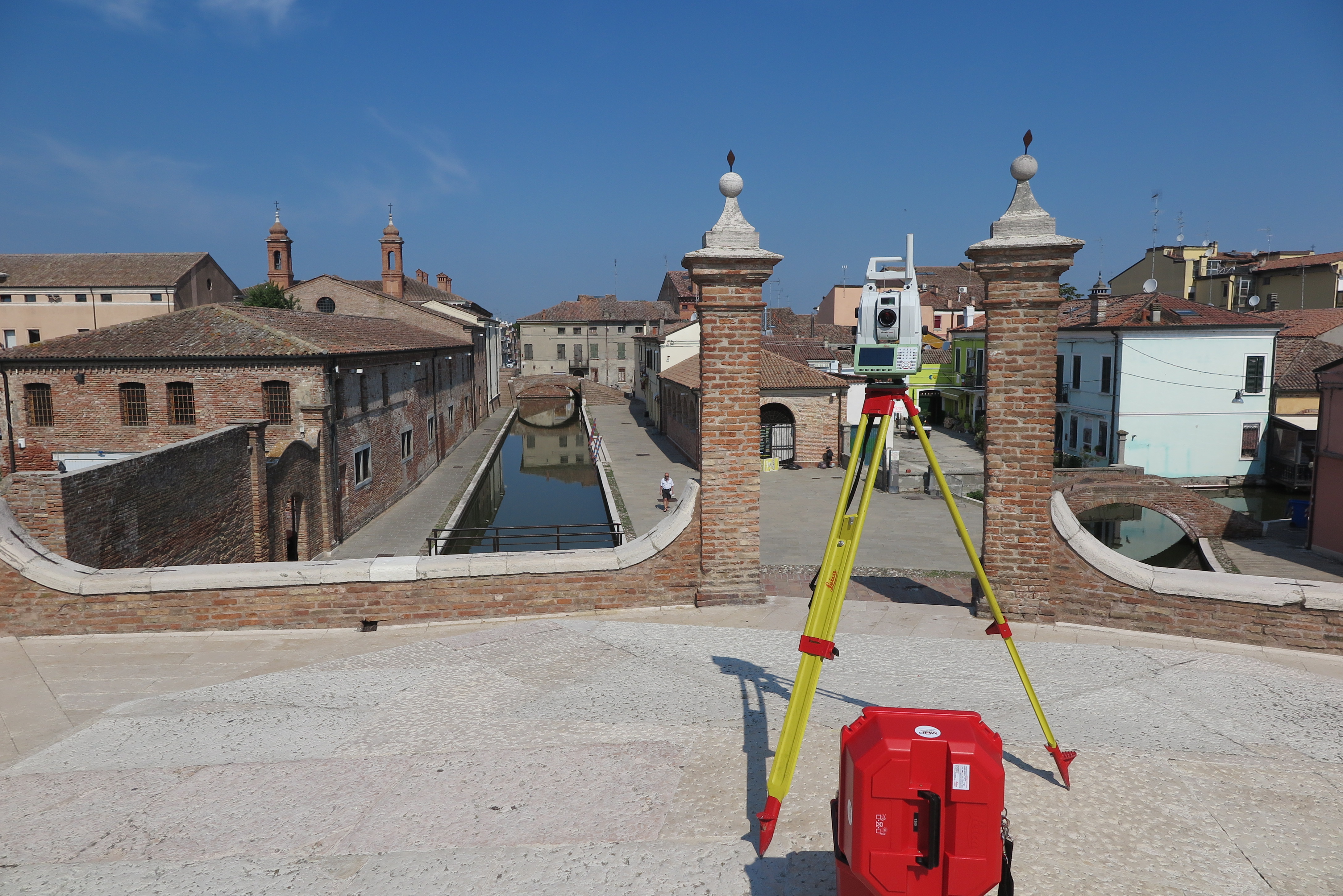
For the execution of the work was used the following instrumentation:
- MecGeos Remote Control
- MS60 Multistation 1” Leica Geosystems anno 2020
- Laser Scanner P30 Leica-Geosystems
For the elaboration of the work the programs were used:
- Cyclone Leica Geosystems
- 3DReshaper Hexagon
- Infinity Leica Geosystems