24 June 2024
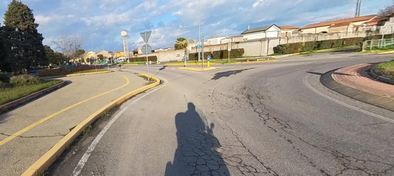
Our team was tasked with quickly acquiring data and afterwards drawing the maps for the analisys of the 20 km cycle path project.
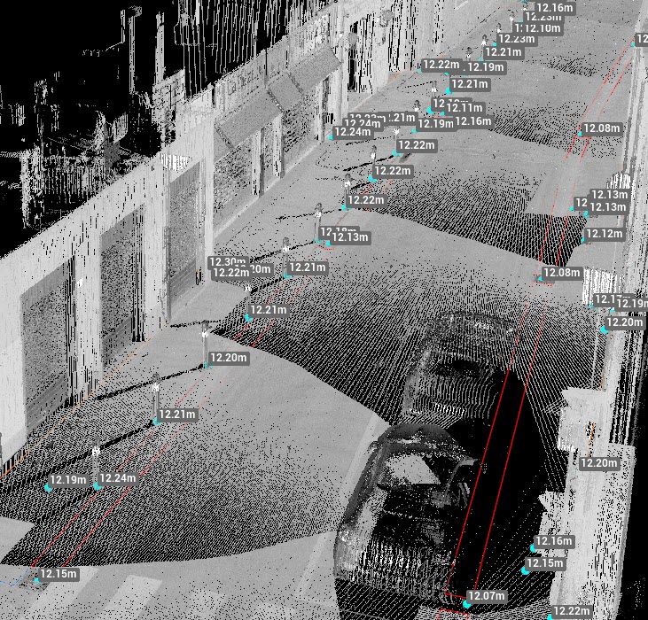
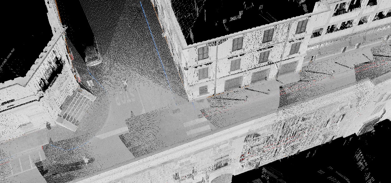
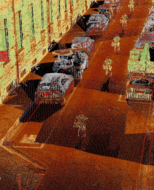
The project will run through both urban areas with historical significance and a variety of design elements and non-urban areas. Our team chose to use RIEGL VZ 600i in Mobile Mapping mode as the acquisition scanning system to guarantee the designers' timing.
The acquisition was finished in about 8 hours thanks to this method that ensured the timing and accuracy. Additional data could be acquired in static mode at the designers' request later due to the same laser scanner system.
From the acquired data, the maps with the required detail were drawn, but the system has made available to the design team a digital twin to extract data trom without having to repeat the road survey operations
- Project: 20 km mobile mapping data acquisition of a cycle path near Ravenna.
- Client: Private
- Località: District of Ravenna
The following equipment was used to carry out the work:
- MecGeos Remote Control
- Laser scanner RIEGL VZ-600i
The following softwars were used to process the data work:
- RiScan pro
- X-PAD Office Fusion Geomax
- Leica 3DR Cyclon